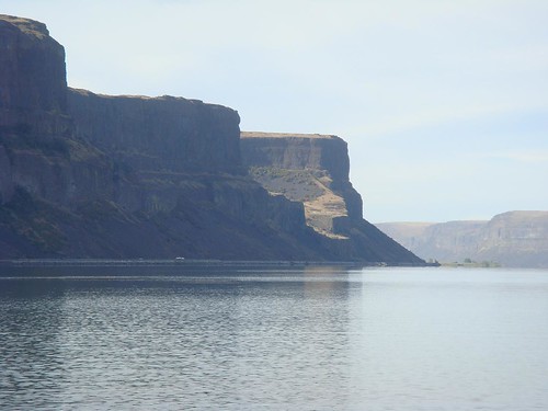
 Leaving the Grand Coulee Dam behind, we drove along Banks Lake, formerly a dry coulee formed by the MegaFlood during the Pleistocene era.
The lake is now a 27 mile long reservoir and part of the Columbia Basin Project, a major water resource project to provide irrigation water to the arid lands of central Washington. Water is typically pumped into Banks Lake from May to September during the typical growing seasons on area farms.
Although you might think that Banks Lake is name for the HUGE, steep banks along either side, the lake was named for Frank A. Banks, chief construction engineer of the Grand Coulee Dam, the main feature of the Columbia Basin Project.
Although originally intended just for irrigation in this sparsely settled desert area, it is now an oasis of recreation and relaxation. While we didn’t see too many fishers, apparently small and large mouth bass, yellow perch, rainbow trout, walleye, kokanee, black crappie, bullhead, and whitefish can be found in Banks Lake.
The most striking feature in the Banks Lake area is Steamboat Rock, a basalt butte that rises 800 feet above the lake. Steamboat Rock was used as a landmark by Indians and early settlers and now for the same purpose by pilots flying VFR in the area. The rock covers an area of 640 acres.
See our pictures from around Banks Lake, Washington
See the full list of places that we visited during our Washington / Oregon / California road trip

Leave a Reply